TOP DESTINATION

TRENDING ACTIVITIES
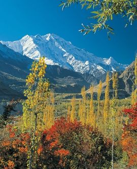
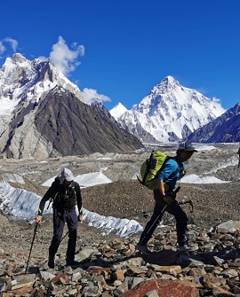
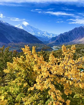
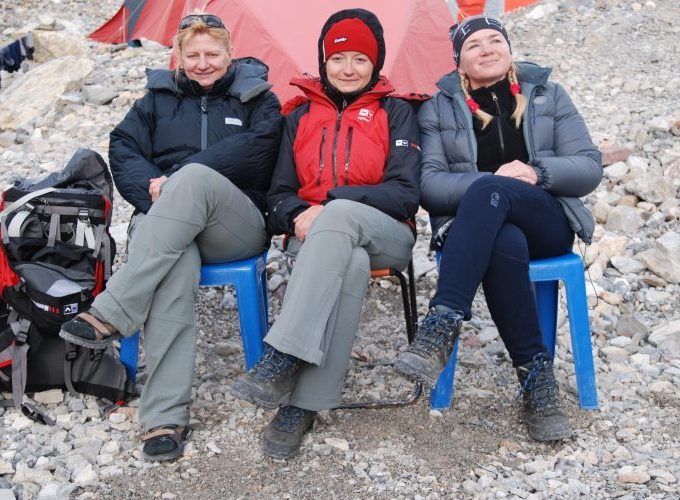
Karakoram, Pakistan
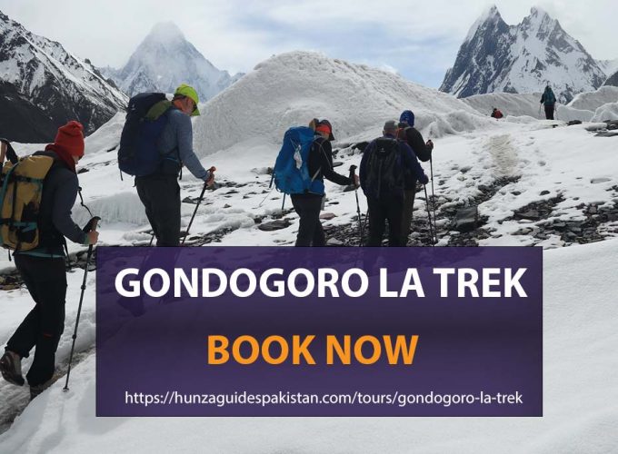
K2 Base Camp and Gondogoro La Trek
Karakoram, Pakistan
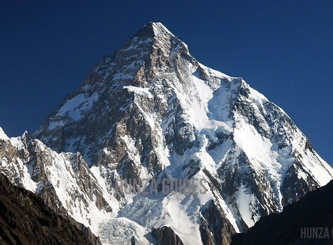
K2 Base Camp Trek
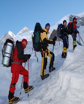
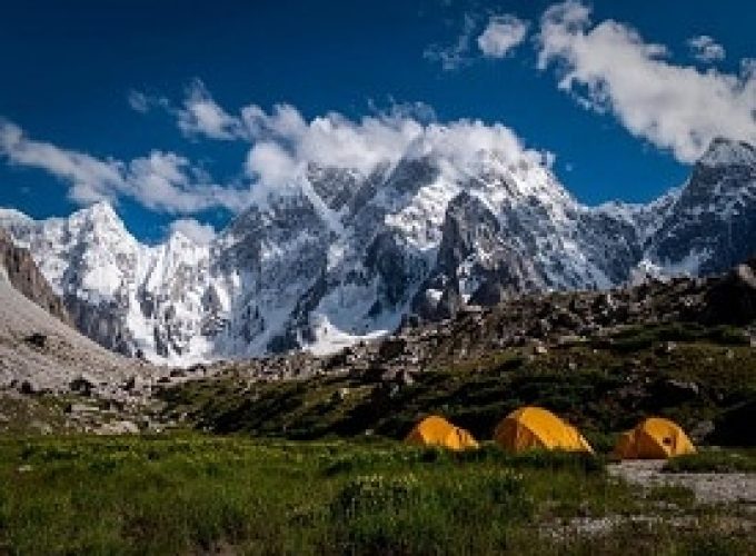
Karakoram, Pakistan
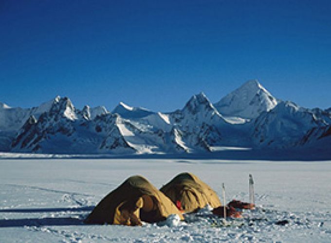
Snow Lake and Hispar La Trek
Karakoram, Pakistan
Great Karakoram Traverse Trek
Karakoram, Pakistan
Hushe K7 Base Camp Trek
OVERLAND TOURS

Beijing, Cheng Du, Changsha
TAOISM TOUR
Taftan Pakistan China
Cross Border Self-Driving Iran-Pakistan
China Pakistan India
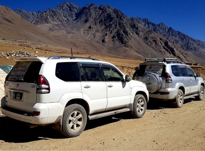
Self-Driving Route in Pakistan
Pakistan, China
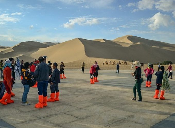
Taklamakan Desert Tour
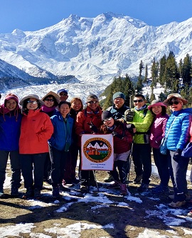
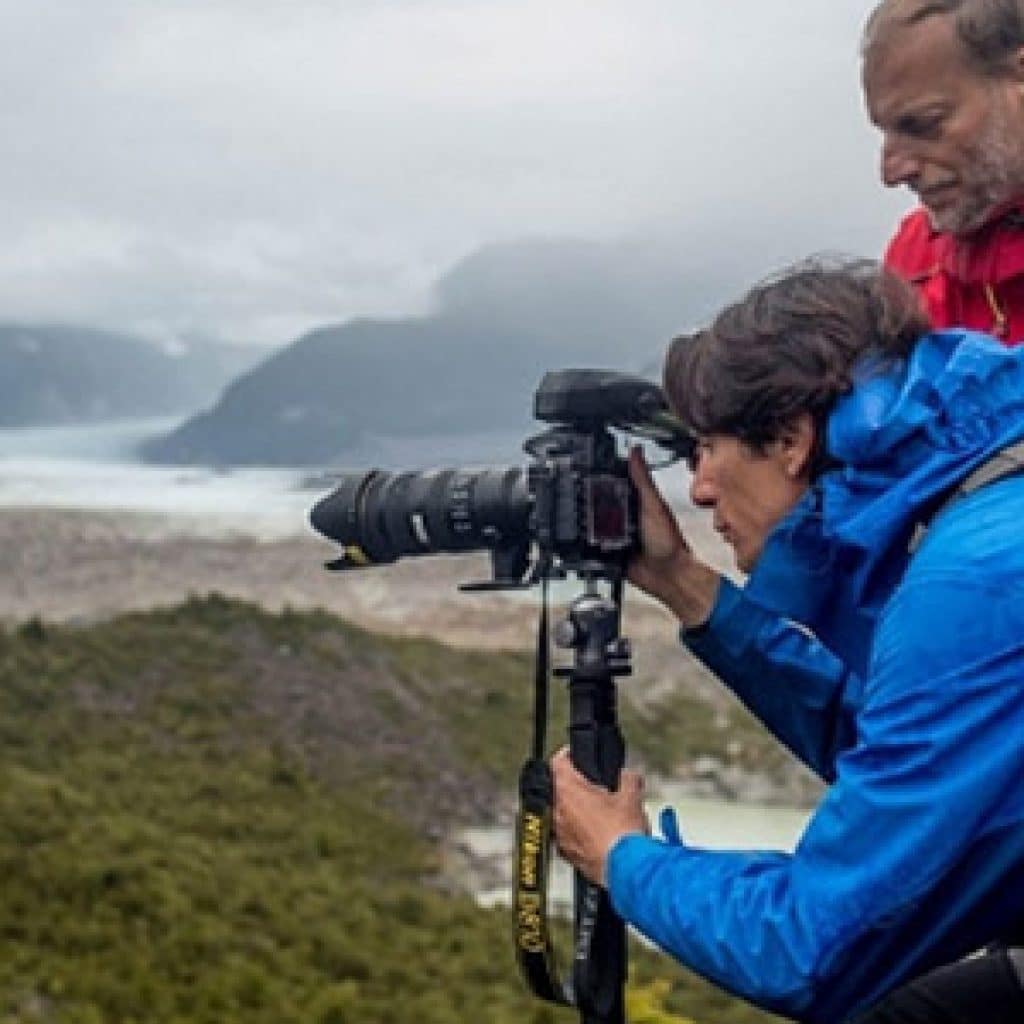
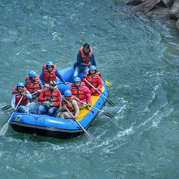
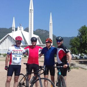
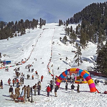
SPECIAL INTEREST TOURS

1,00+ local guides
We have the best guides in the country.

Handcrafted experiences
Our experience reflects in your adventure.

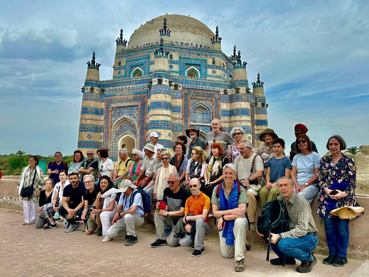
99% happy travelers
That's right. They are happy.
COME & MEET us at the following exhibitions

Affiliated with & Licence